
mapry
Surveying
Surveying
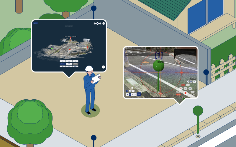
“mapry Surveying” is a LiDAR used 3D surveying application available for 9,600 yen per month (tax included).
Using a smartphone or tablet and a GNSS receiver (RTK-GNSS), measurements can be taken in accordance with the Ministry of Land, Infrastructure, Transport and Tourism’s “Guidelines for Formwork Management with 3D Measurement Technology”.
High-precision measurement
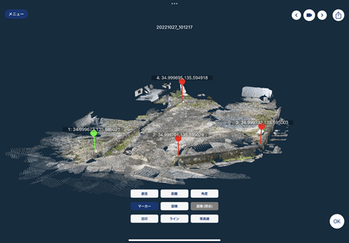
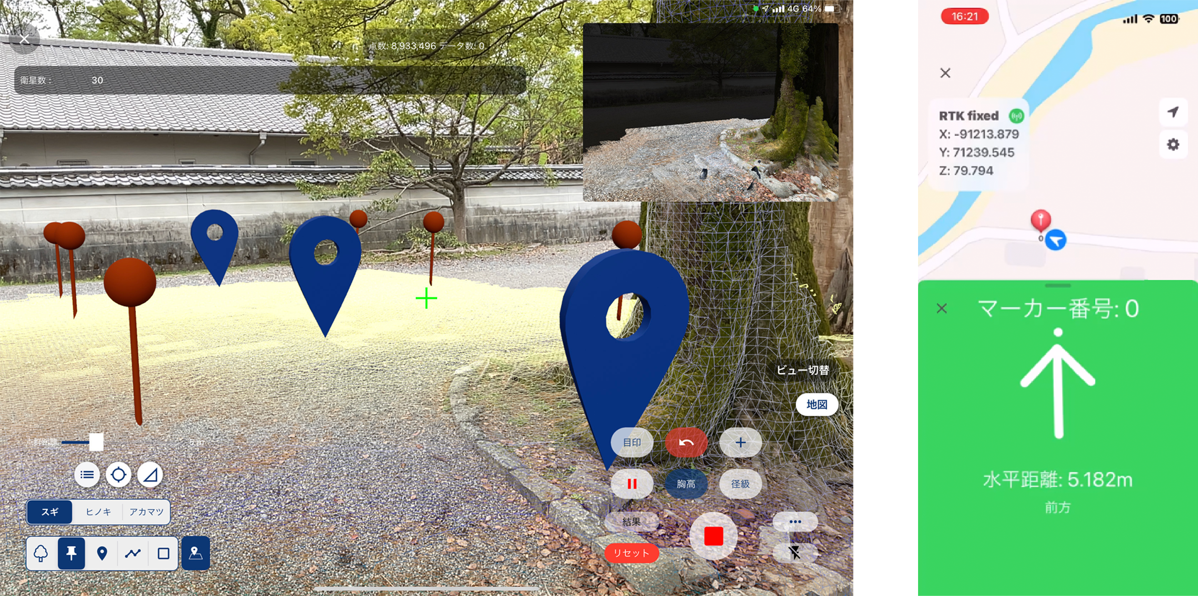
“mapry Surveying” is an application for creating highly accurate point clouds. It acquires color point clouds in public coordinates and outputs them in PLY or TXT format.
AR Projection
You can also do piling directly from the app or,Data (CSV, SIMA) of plane rectangular coordinates can be imported for projection and search pile to the site.
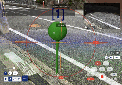
Search pile
Guides the distance and direction of the specified coordinate values. When the coordinate value is close, a sound will be made to notify you.


Price
Monthly (including tax)/
yen

