mapry
Forestry
“mapry Forestry” is a tool that simplifies all survey work in forestry and forest management.
The system is suitable for forest maintenance projects, allowing for the acquisition of highly accurate data through easy operation to the creation of field notebooks.In addition to the functionality of the Diameter survey, it can be used to perform simple surveying of the work roads profile and perimeter.
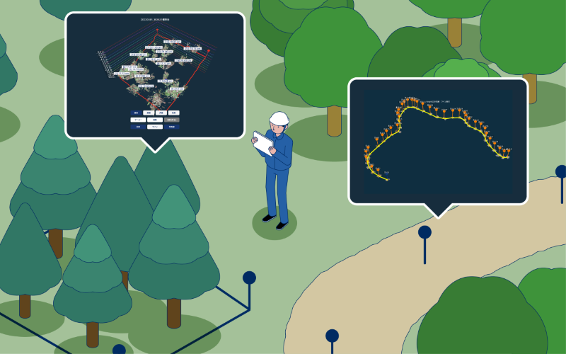
Diameter Survey
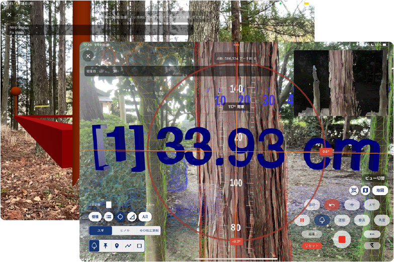
The functions of “mapry Diameter Survey”, such as standard site survey and plot establishment, can also be used in mapry Forestry.
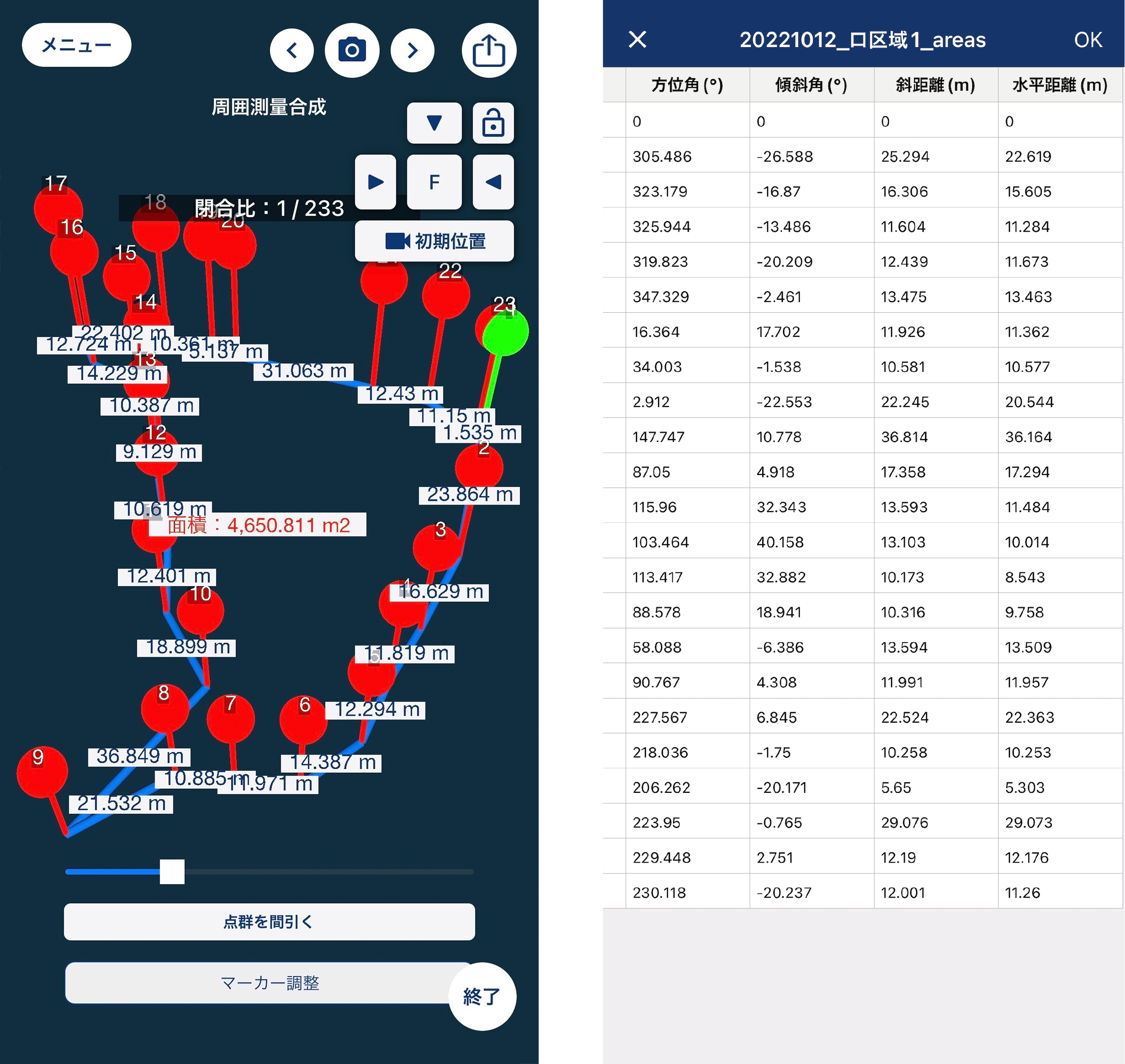
Perimeter survey
Place markers and perform perimeter surveying.Calculate azimuth, tilt, oblique and horizontal distances using only an iPhone.
The measured data can be used to create a simple survey field book.
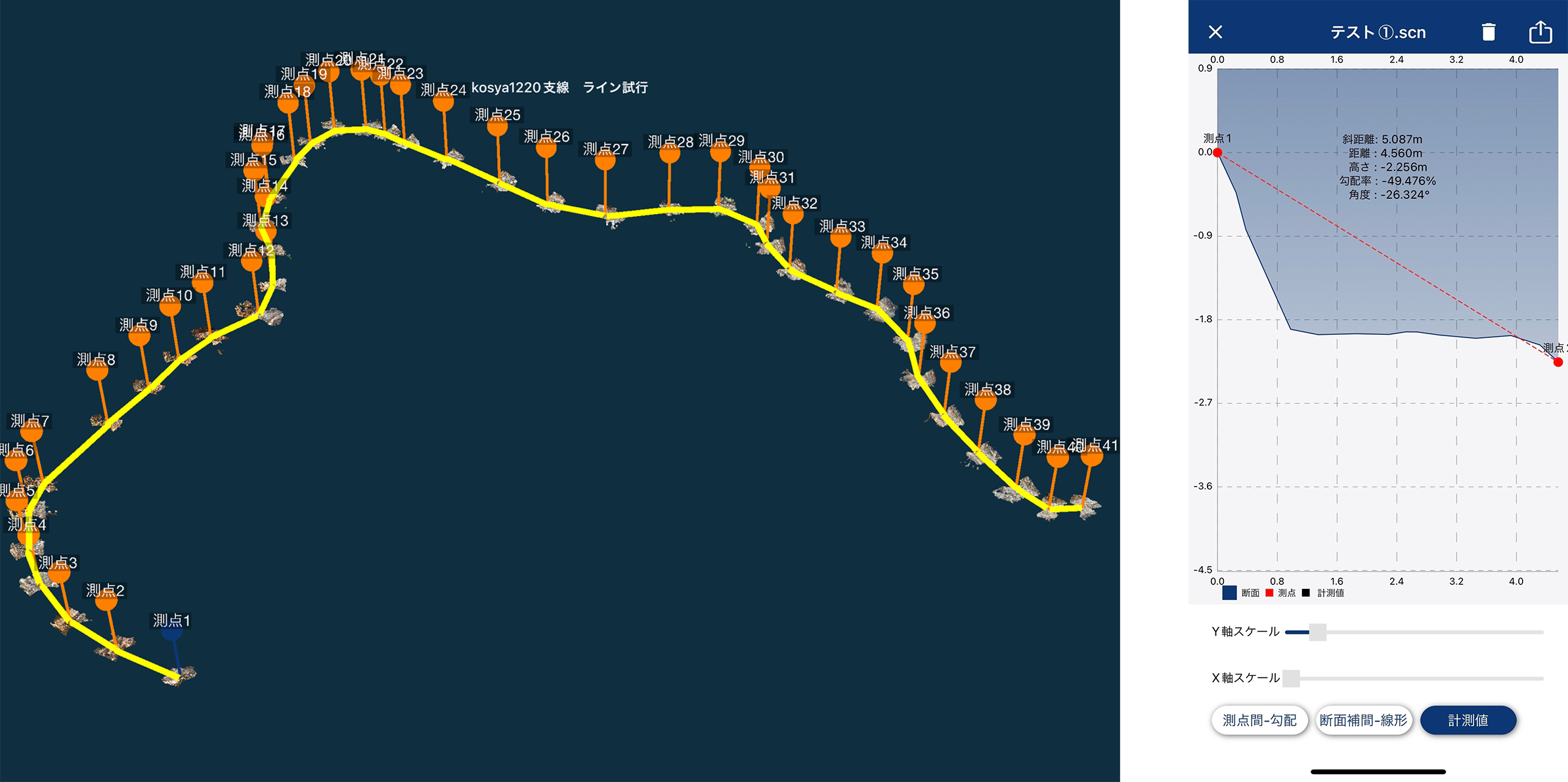
Work roads
Capable of calculating total length, measuring longitudinal and cross sectional views, width, slope of the ground, etc.
A field book can be created from the measured working path data.
Price
Monthly (including tax)/
yen
mapry
Diameter Survey
Diameter Survey
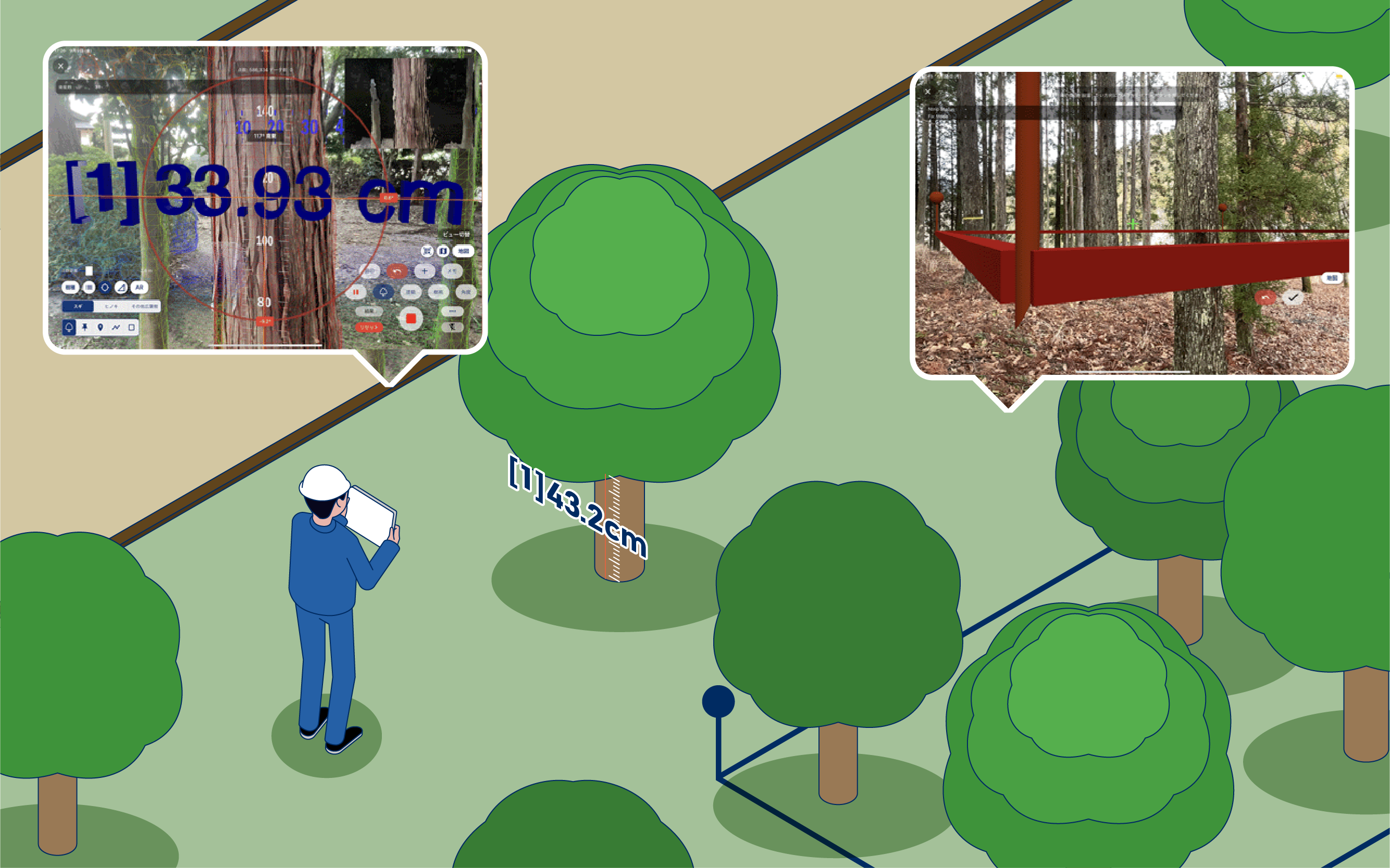
This application is specialized for diameter survey and standard site survey.
In addition to forest management, it can be used to identify trees in parks and grounds and for supplemental work.
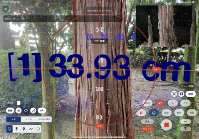
Standard Site Survey
It is possible to measure breast height diameter, tree height, and lumber volume.
A photograph of the surrounding area is also recorded, along with information on the coordinates of where the tree-grown was taken.
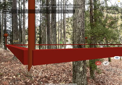
Plot installation
Plots can be set up to measure area and distance.
Price
Monthly (including tax)/
yen


