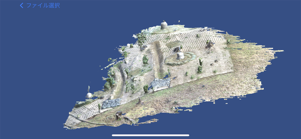
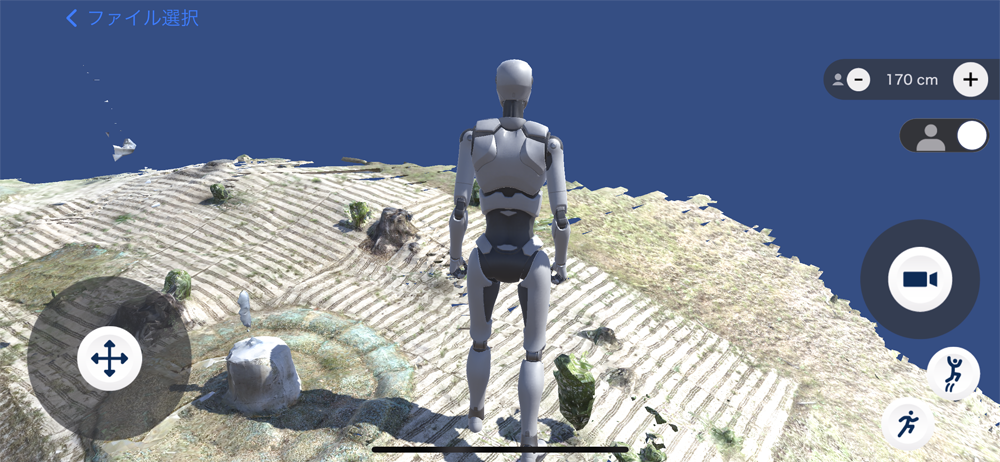
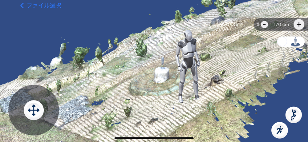
mapry Web editor makes it easy to perform various measurements with a smartphone or tablet using LiDAR sensors and visible light.
By linking with applications such as “mapry forestry,” which allows users to easily acquire highly accurate data on their iPhones and iPads, through cloud computing, users can easily input and output various files such as drawings and measurement data, output forms, and view point cloud data using a web browser.


