News
お知らせ
The drone-specific LiDAR “mapry M1” including a dedicated data processing app is now available for 812,000 yen (excluding tax)!
Mapry Inc. (Headquarters: Tamba City, Hyogo Prefecture, CEO: Keiji Yamaguchi, hereinafter referred to as Mapry), which provides the geospatial information app platform service “mapry”, will release the drone-specific LiDAR “mapry M1” for 812,000 yen on Thursday, October 31, 2024. It can be attached to the drone aircraft Matrice 350, so those who already have the aircraft will be able to fly a laser drone at low cost.
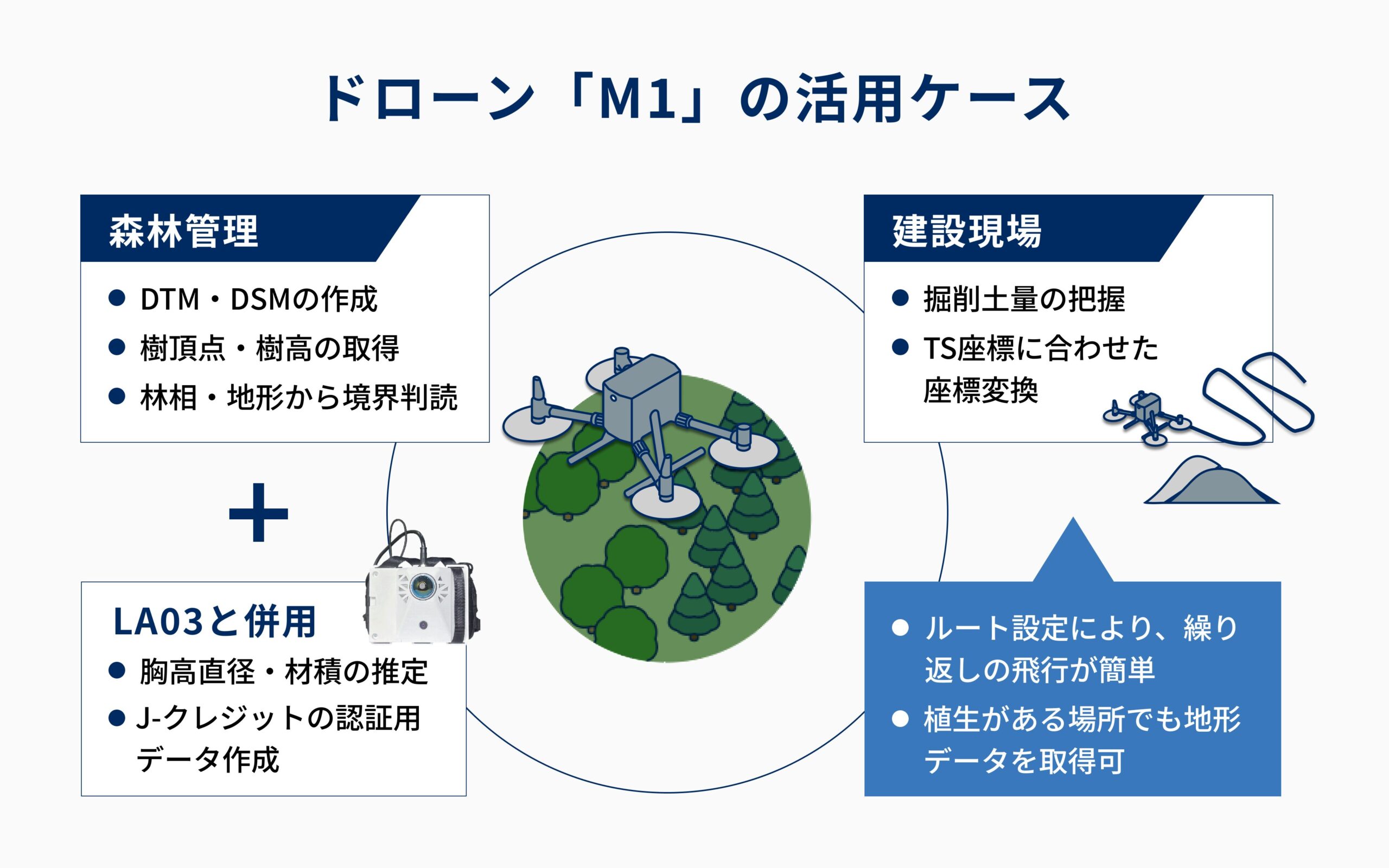
When used in combination with the backpack LiDAR “mapry LA03”, it can be used not only to reduce the labor from registration to certification in the creation and utilization of forest carbon credits, but also to improve the reliability and transparency of data.
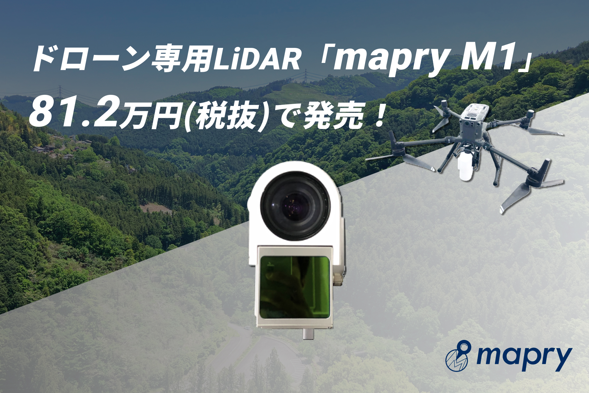
Laser can now be purchased alone
Until now, the mapry M1 has been offered as a set with a drone aircraft for 2.45 million yen (excluding tax). In order to meet the demand from those who already own the drone Matrice350, we will start selling the laser alone.
| Measuring distance | 200m |
| FOV | 70.4°×77.2° |
| Maximum return | 3 returns |
| Output | Color point cloud, ortho |
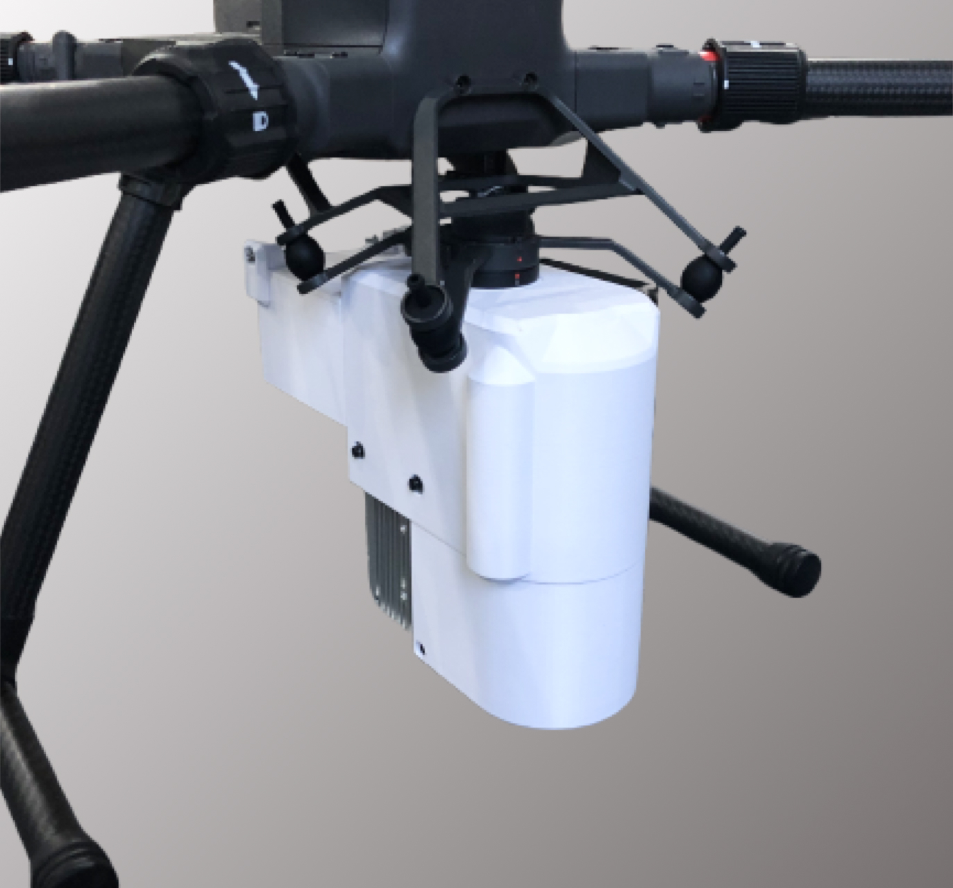
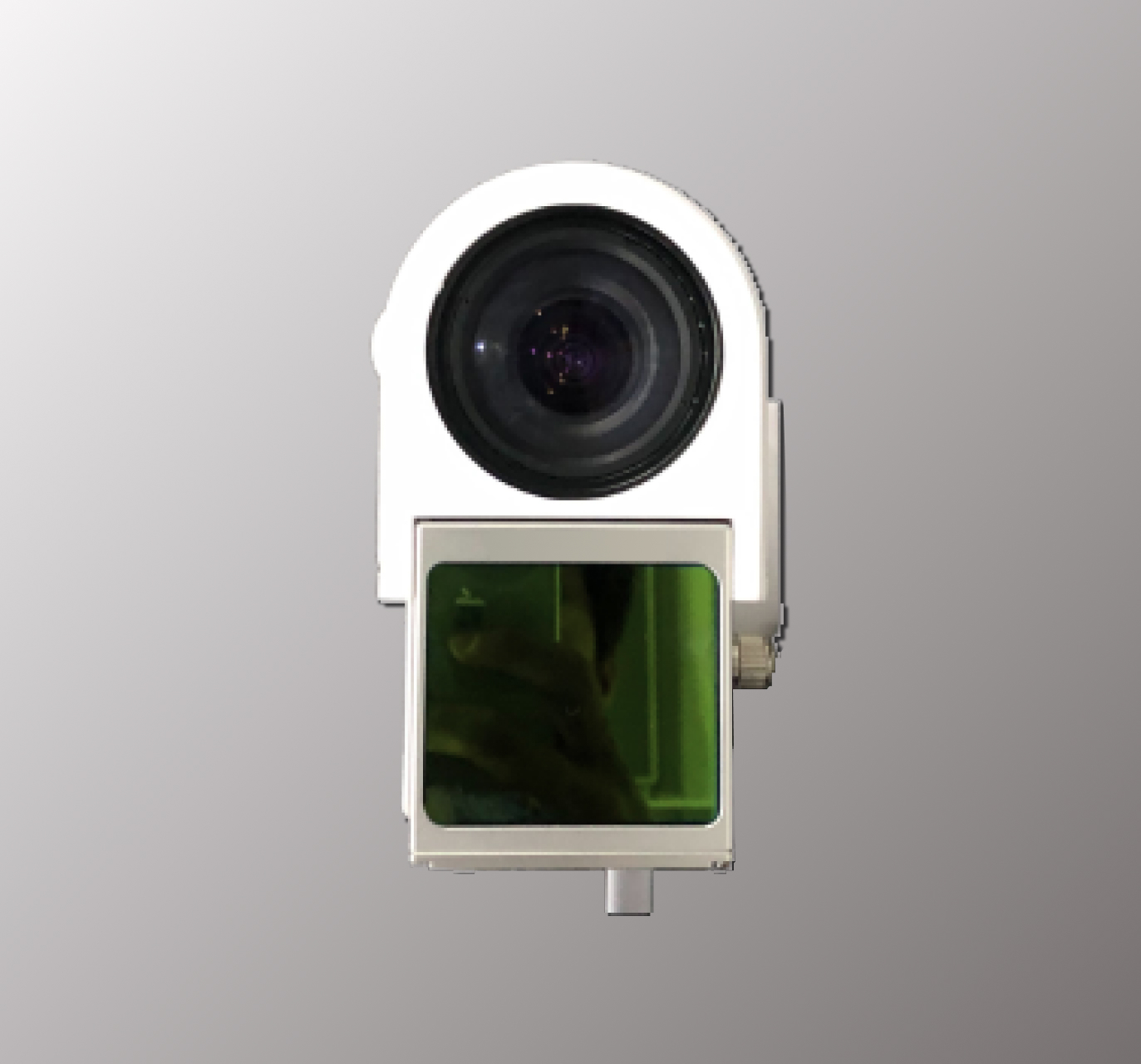
Expected use case
For forest carbon credit certification
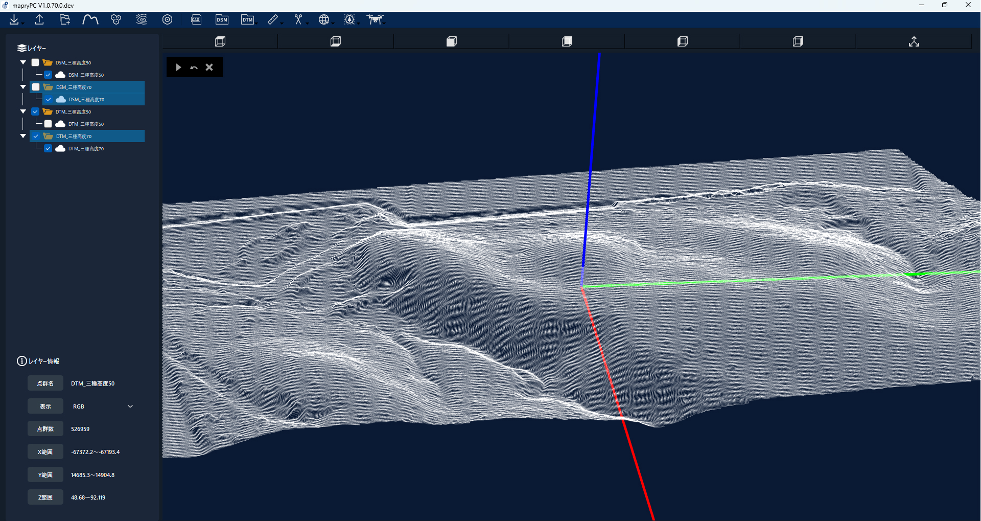
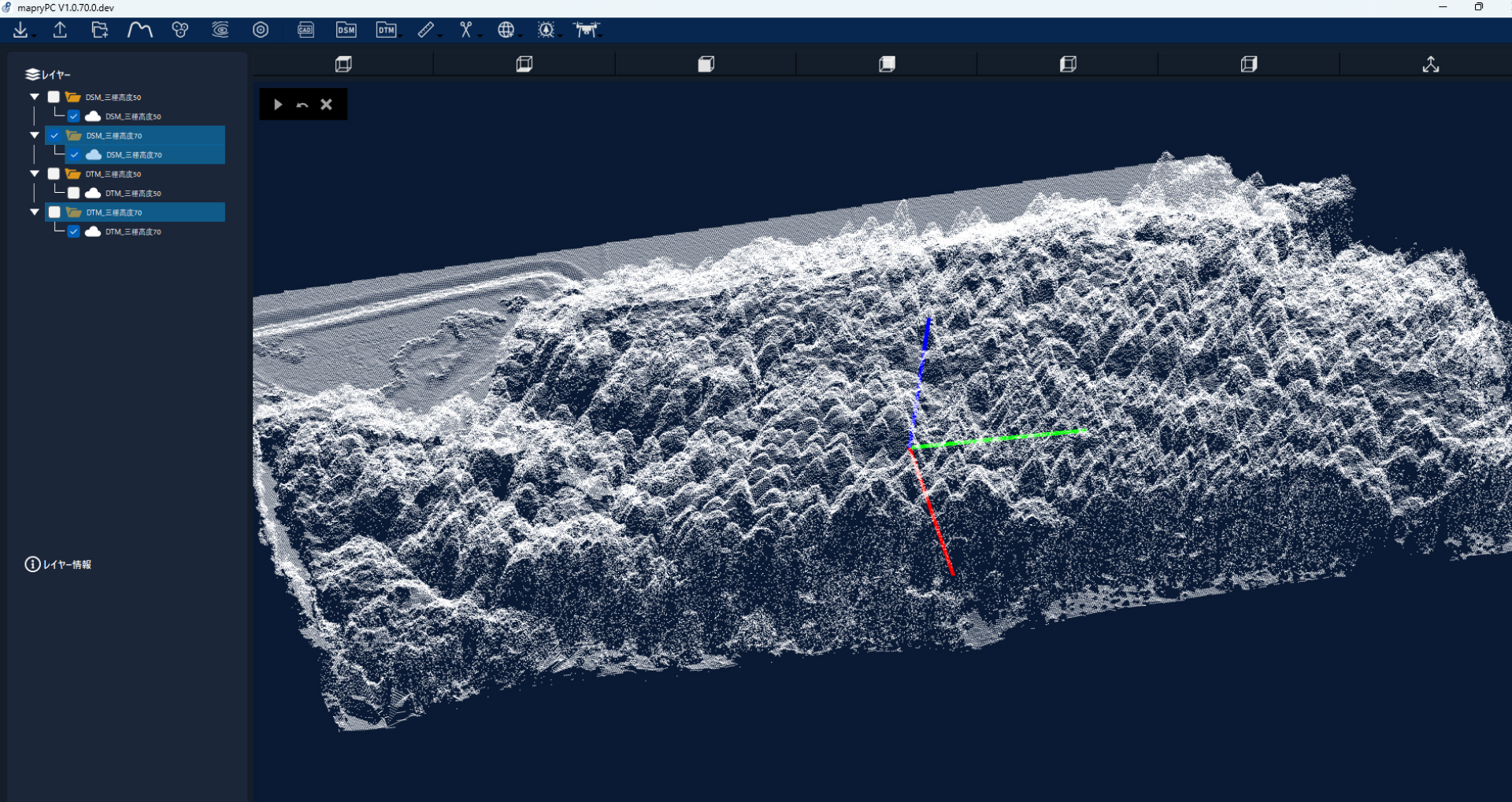
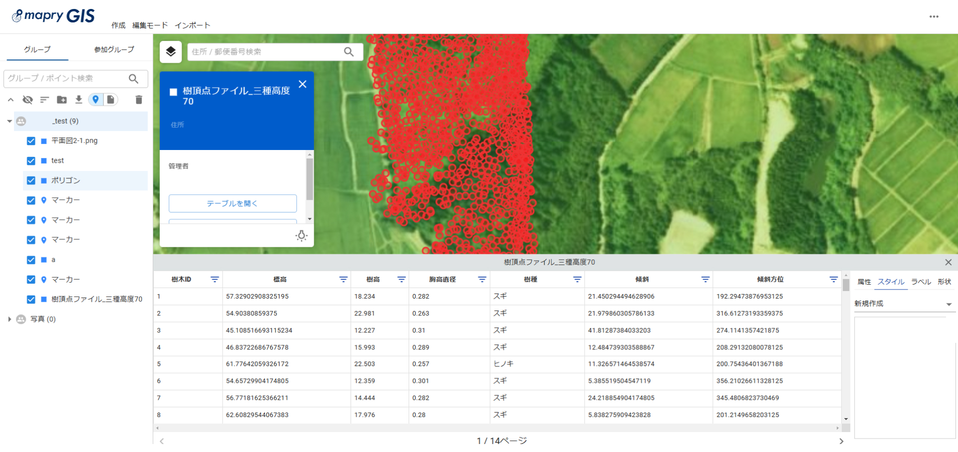
It is possible to create DTM (terrain model) and DSM (surface model) from the acquired data, and calculate tree apex and individual tree height. By using it in combination with the backpack LiDAR mapry LA03, it is possible to acquire ground data of a part of the flight area and even estimate breast height diameter. It can also be used to reduce the labor required from forest carbon credit (J credit) registration to certification, and to improve the reliability and transparency of data.
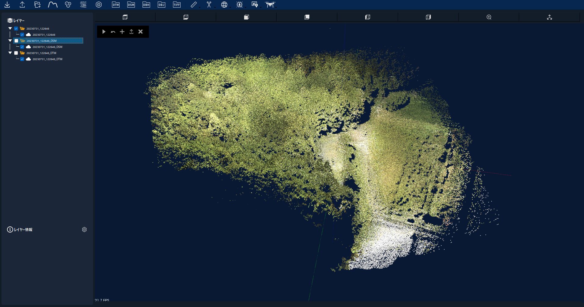
Construction site progress monitoring
Easily fly along a route with a set excavation range, compare with the previous day’s data, and calculate the amount of cut and fill and the volume (coordinate conversion to match TS coordinates is also possible). Even at sites where the construction range is large and it is difficult to grasp the situation, highly accurate data can be obtained and progress can be managed. It is also possible to obtain the topography of sites where there are trees and vegetation and the ground is difficult to see with an aerial photography drone. *Not compatible with public surveying using UAVs
Price
[Laser price alone]
812,000 yen (excluding tax)
[Usage fee]
Free for the first year (1 year from the month following the month of use)
*25,000 yen per year from the following year (excluding tax)
・Drone version application
・Analysis software mapry PC version
Contact information/application information
About Mapry
Mapry is a service for everyone involved in surveying, forestry, disaster prevention, agriculture, and construction. We provide solutions that make it easy to acquire, analyze, and utilize three-dimensional data, which has previously been difficult to obtain due to the cost of surveying equipment and the difficulty of operating/analyzing the equipment.
Company overview
Company name: Mapry Co., Ltd.
Location: 165 Tada, Kasuga-cho, Tanba-shi, Hyogo Prefecture (Head office)
Representative: Representative Director Keiji Yamaguchi
HP: https://mapry.co.jp/
Inquiries regarding this matter: info@mapry.co.jp