News
お知らせ
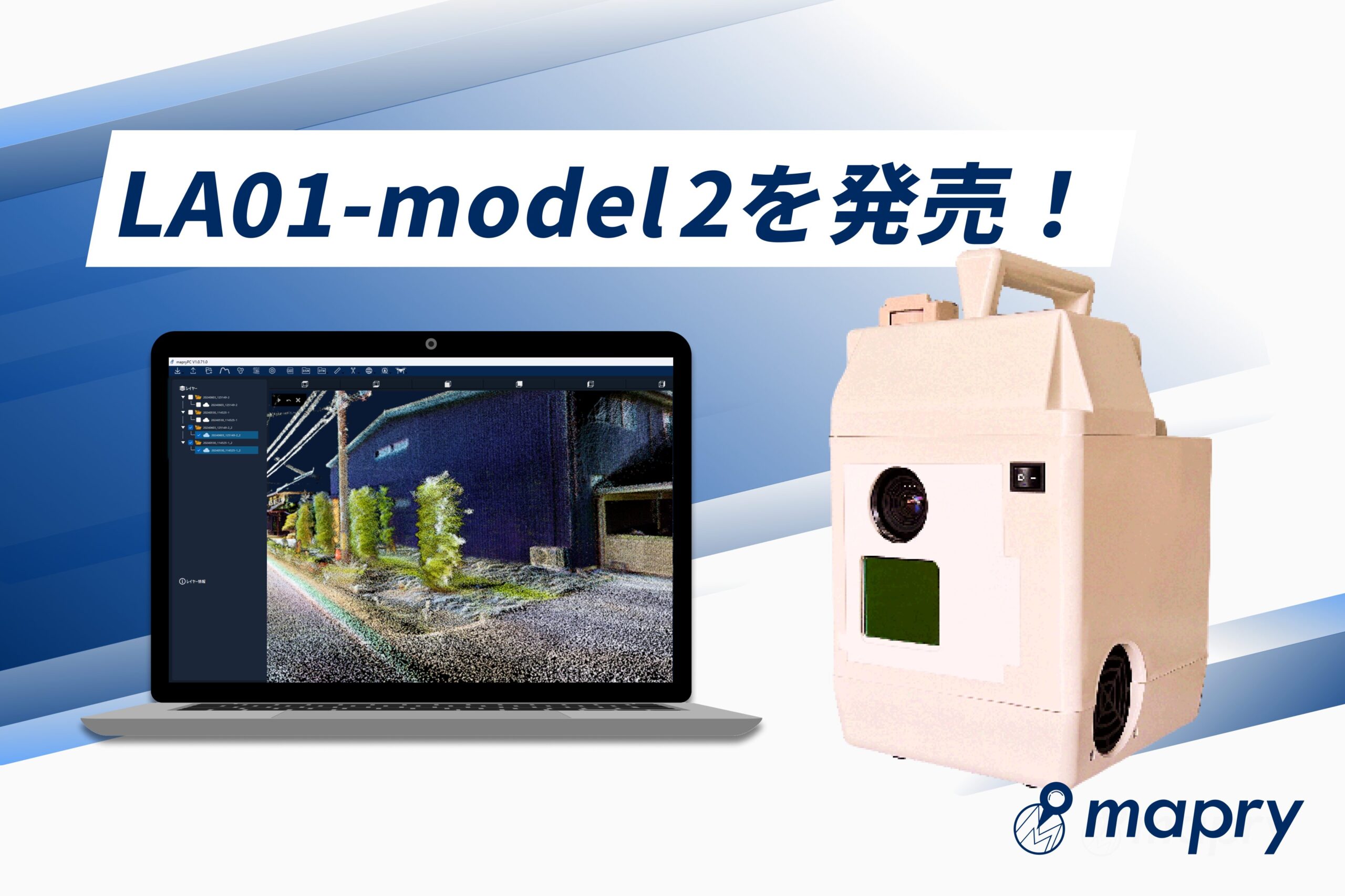
Another model of the LiDAR “LA01” has been released. Smoother acquisition of colored point cloud data is now possible.
Mapry Co., Ltd. (Headquarters: Tamba City, Hyogo Prefecture, CEO: Keiji Yamaguchi, hereinafter referred to as Mapry), which provides the geospatial information app platform service “mapry”, will release another model of the LiDAR device “LA01”, “LA01-model2”, on Wednesday, June 26, 2024. By implementing faster processing speed and the ability to save videos simultaneously with point clouds, it is now possible to acquire colored point cloud data more smoothly and with higher accuracy. Please use it for understanding the current situation at construction sites and topographical surveys.
■About “LA01”
MapryLA01 is a LiDAR device that is ideal for surveying at civil engineering sites and acquiring data on the ground. It can be used by switching between point cloud acquisition while moving and fixed acquisition, and can measure up to 200m. You can measure structures such as houses, roads, slopes, bridges, and construction sites, as well as inaccessible objects such as disaster areas, from a safe location. In addition to fixed point installation, handheld and vehicle-mounted measurements are also possible. It is characterized by its high performance and low price (see price column for details).
●Main functions added to LA01-model2
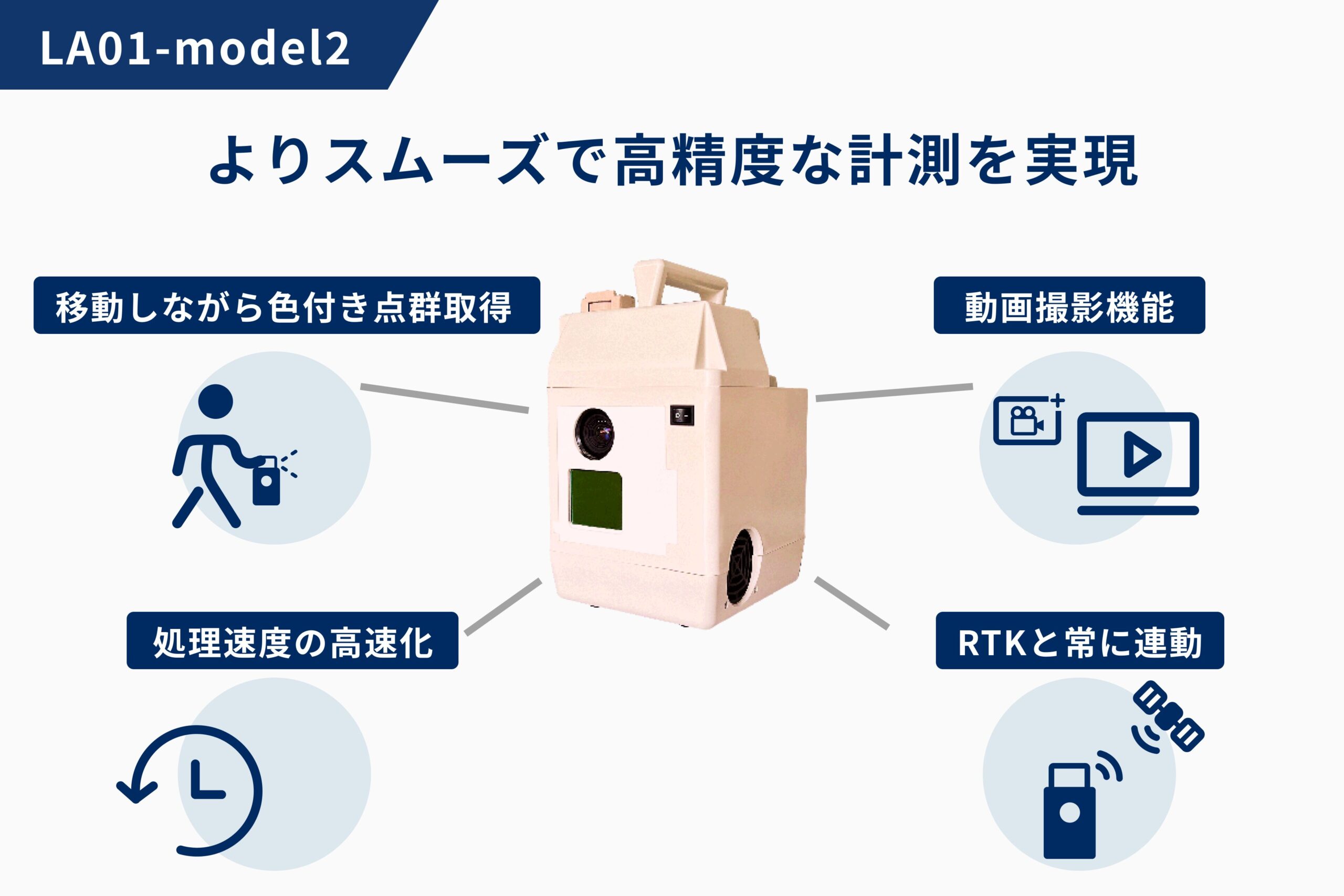
– Acquire colored point clouds while moving
With the conventional LA01 (hereinafter model1), colored point clouds had to be measured while stationary from a tripod. With LA01-model2, colored point clouds can be acquired while moving, making it possible to perform smooth measurements over a wide area, such as vehicle-mounted measurements.
– Video recording function
Equipped with a 1.2 megapixel camera, videos can be saved at the same time as point clouds during measurement.
– No need to install markers
With model1, when working with the RTK-GNSS receiver “R1” to obtain high-precision coordinates, it was necessary to install markers when measuring. With LA01-model2, you can obtain high-precision coordinates (±50mm) without installing markers during measurement.
・Faster processing speed
The processing speed of measurement data has been accelerated, shortening the time it takes to save. In addition, the continuous operating time of model1 was about 10 minutes, but for LA01-model2, it has been extended to about 30 minutes.
■Price
Normal unit price: yen (tax included)
Monthly fee: 11,000 yen (tax included)
■Application for use
https://mapry.co.jp/contact/
■About Mapry
Mapry is a service for everyone involved in surveying, forestry, disaster prevention, agriculture, and construction. We provide solutions that make it easy to acquire, analyze, and utilize three-dimensional data, which has previously been difficult to obtain due to the cost of surveying equipment and the difficulty of operating/analyzing the equipment.
■Company overview
Company name: Mapry Co., Ltd.
Location: 165 Tada, Kasuga-cho, Tamba-shi, Hyogo Prefecture (Head office)
Representative: Representative Director Keiji Yamaguchi
HP: https://mapry.co.jp/
Inquiries regarding this matter: info@mapry.co.jp