
Drone
The “mapry drone version” is an application that can be used in the forestry and agricultural fields. In addition to automatic drone flight, the “mapry drone version” is equipped with functions to visualize the location information of forest boundaries through drone cameras and functions useful for cultivation management in agriculture.
・Image Acquisition ~ GIS Data Management
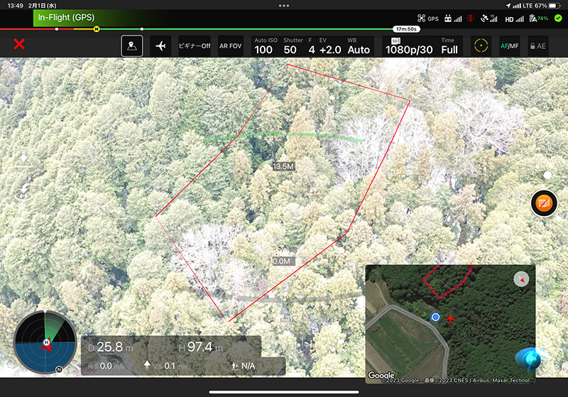
・AR display of vector data with geographic information (e.g., forest boundaries)
・Share captured images and videos with location information via mapry application, etc.
The “mapry drone version” allows mapry users to share information instantly and to assess the situation on the ground without having to go to the site.
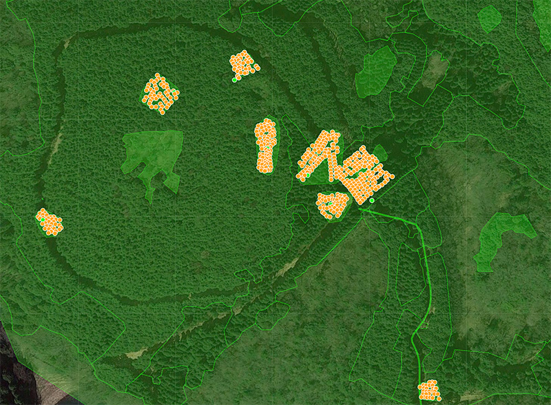
GIS data of boundaries
AR display
image

point cloud

Price
Monthly (tax included)/
2,750
yen

- drone

